Ten miles above the Arctic, an invisible atmospheric fortress is beginning to crack. The polar vortex—a massive whirlpool of frigid air that normally keeps bone-chilling cold locked at the top of the world—is about to undergo a major disruption that could unleash weeks of severe weather across much of the globe.
This isn’t just another winter cold snap. When the polar vortex weakens or splits apart, it can send Arctic air cascading southward in chaotic patterns, transforming ordinary winter weeks into a gauntlet of ice storms, blizzards, and dangerous cold that reaches far beyond where such weather typically strikes.
The signs are already building in the stratosphere, where rapid warming indicates powerful atmospheric waves are slamming into the vortex and weakening its grip on the Arctic’s most brutal cold.

Understanding the Polar Vortex Disruption Process
The polar vortex operates like a colossal air engine spinning around the Arctic in the stratosphere, often at speeds exceeding 100 miles per hour. This invisible barrier traps bitter cold in its core like a vault for winter itself, keeping the most severe Arctic conditions contained at the top of the world.
Most winters, this system remains relatively stable. But sometimes, powerful disturbances from below—waves of energy generated by mountain ranges, intense storms, or sharp temperature contrasts—punch upward and destabilize the vortex.
When that happens, the vortex can stretch, crack, or in the most dramatic cases, split into pieces entirely. This process sends bottled-up Arctic air spilling outward and downward, creating what meteorologists call a “sudden stratospheric warming.”

The current disruption shows signs of being particularly strong. The stratosphere is warming rapidly over the Arctic—a clear indicator that the vortex is taking a significant hit from atmospheric waves below.
Why This Winter’s Disruption Could Be More Severe
Not every polar vortex disruption creates the same impact. Some cause the vortex to stumble briefly before regathering strength and pulling cold air back north. Others deliver such a powerful blow that the vortex collapses completely, sending dense Arctic air cascading downward for weeks.
The signals pointing toward this year’s disruption suggest it could fall into the more severe category. The rapid stratospheric warming occurring over the Arctic indicates the atmospheric waves hitting the vortex are particularly powerful.

When a major disruption occurs, it doesn’t just affect one region. The cold air doesn’t drift gently—it spills in jagged tongues and lobes, creating unpredictable weather patterns that can stretch across continents.
| Disruption Type | Duration | Weather Impact |
|---|---|---|
| Minor Disruption | 1-2 weeks | Brief cold snaps, localized snow |
| Major Disruption | 4-6 weeks | Extended severe weather, widespread ice storms |
| Vortex Split | 6-8 weeks | Extreme cold, dangerous blizzards, infrastructure stress |
Cascading Weather Hazards on the Horizon
The most concerning aspect of a major polar vortex disruption isn’t just the cold—it’s the cascade of dangerous weather events that follow. As Arctic air masses collide with warmer systems, they create conditions ripe for multiple types of severe weather.
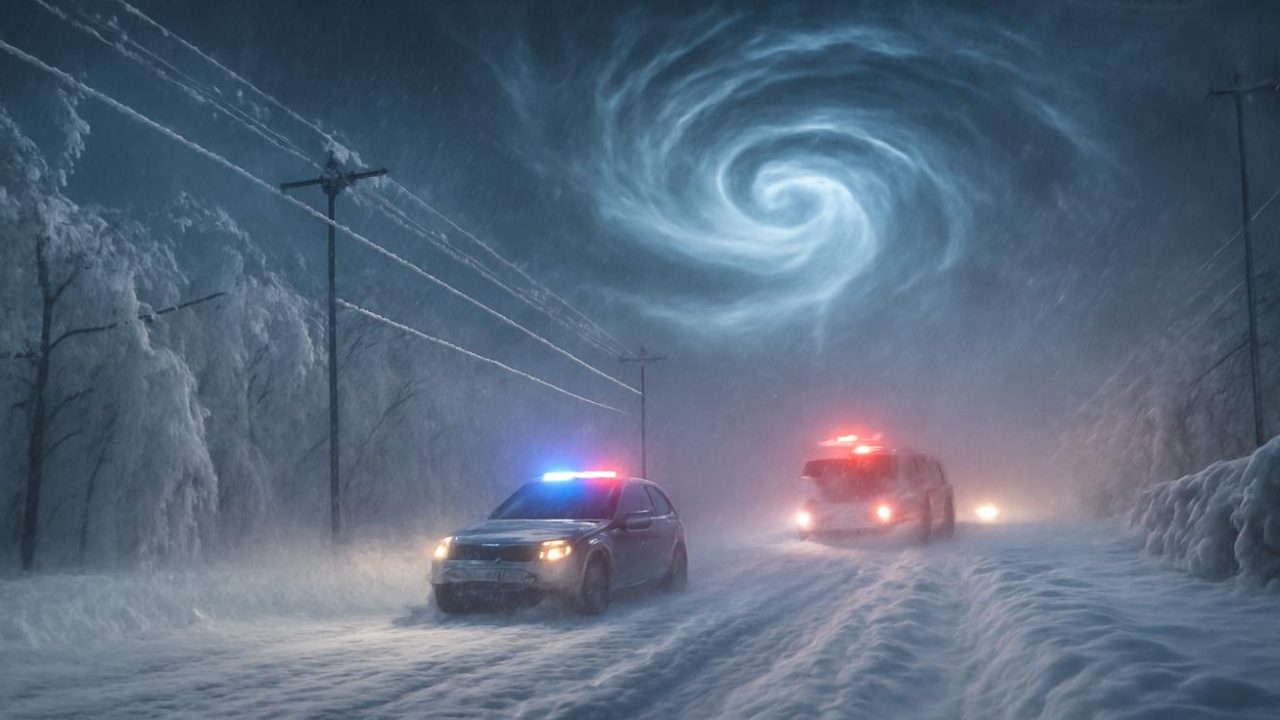
Ice storms represent one of the most dangerous possibilities. When frigid air from a disrupted polar vortex meets moisture-laden systems, it can create the perfect conditions for freezing rain that coats everything in thick ice, bringing down power lines and making travel treacherous.

Blizzard conditions become more likely as the disrupted vortex sends multiple waves of cold air southward. These aren’t typical snowstorms—they’re intense systems that can dump heavy snow while generating dangerous winds and whiteout conditions.
The temperature swings themselves create hazards. Rapid transitions from relatively mild conditions to Arctic cold can stress infrastructure, burst pipes, and create dangerous conditions for anyone caught unprepared.
Geographic Impact and Timeline
The effects of a polar vortex disruption don’t appear overnight. The process unfolds in stages, starting in the stratosphere and gradually working its way down to surface weather over the course of days to weeks.

Initially, the disruption occurs at altitudes where commercial jets rarely fly. But as the weakened vortex allows Arctic air to escape its usual boundaries, the effects cascade downward through the atmosphere.
Different regions experience the impact at different times and intensities. Areas that typically see harsh winter weather may face even more extreme conditions, while regions unaccustomed to severe cold might experience unprecedented Arctic blasts.
The chaotic nature of a disrupted polar vortex means weather patterns become less predictable. Traditional forecasting becomes more challenging as the atmosphere reorganizes itself around the weakened or fractured vortex.

Preparing for Extended Severe Weather
Unlike typical winter storms that last a few days, the weather impacts from a major polar vortex disruption can persist for weeks. This extended timeline changes how people need to prepare and respond.
Power outages become a significant concern during extended severe weather events. Ice storms can bring down power lines across wide areas, while extreme cold stresses electrical grids as heating demand soars.
Transportation systems face prolonged challenges. Airports may experience extended delays or closures, while road conditions can remain dangerous for weeks rather than days.

The economic impact extends beyond immediate weather damage. Extended periods of severe weather can disrupt supply chains, affect agricultural operations, and strain emergency services across multiple states or regions simultaneously.
Emergency management agencies monitor polar vortex disruptions closely because they represent a different category of weather challenge—not a single event, but a sustained period of heightened risk that can test community resilience and preparedness systems.
Frequently Asked Questions
How long does a polar vortex disruption typically last?
Major disruptions can affect weather patterns for 4-6 weeks, with the most severe impacts lasting several weeks as Arctic air masses reorganize.

Can meteorologists predict exactly where the worst weather will hit?
The chaotic nature of a disrupted polar vortex makes precise long-term forecasting difficult, though general regional trends become clearer as the event unfolds.
Is this type of weather event becoming more common?
The source material does not provide specific data on frequency trends for polar vortex disruptions.
What makes this disruption potentially more severe than others?
The rapid stratospheric warming occurring over the Arctic indicates particularly powerful atmospheric waves are hitting the vortex, suggesting a stronger disruption.
How high in the atmosphere does the polar vortex occur?
The polar vortex operates in the stratosphere, at altitudes where commercial jets rarely fly—much higher than typical weather systems.
What’s the difference between the polar vortex and regular winter storms?
The polar vortex is a massive atmospheric engine that contains Arctic cold; when disrupted, it releases that cold in chaotic patterns that can create multiple types of severe weather over extended periods.


Leave a Comment