Hundreds of massive submarine canyons lie hidden beneath Antarctica’s icy waters, some stretching longer than the Grand Canyon itself. These underwater valleys, carved deep into the seafloor, remained largely invisible to scientists until new high-resolution mapping technology revealed their true scope and significance.
The discovery represents far more than geological curiosity. These canyons function as critical highways for the planet’s ocean circulation system, channeling dense, cold water from Antarctica’s coast into the deep ocean basins that help drive global climate patterns.
For decades, our understanding of the Antarctic seafloor remained frustratingly incomplete, like viewing an old photograph perpetually out of focus.

Revolutionary Mapping Technology Reveals Hidden Landscape
The breakthrough came through advances in seafloor mapping technology that transformed how scientists view the deep ocean around Antarctica. Traditional sonar readings from passing ships and scattered expedition data provided only general shapes and depths, leaving vast gaps in our knowledge.
High-resolution multibeam sonar, ice-penetrating radar, and sophisticated data merging techniques from multiple ships, satellites, and autonomous vehicles have now produced the most detailed maps ever created of the Antarctic margin—the zone where the ice-covered continent meets the ocean.
These new maps shattered previous assumptions about the seafloor’s appearance. Rather than the simple, gentle slope from coast to abyss that many textbooks suggested, the ocean floor appears “slashed and sculpted,” carved with canyon after canyon cutting from the continent’s edge deep into the ocean basin.

Scientists describe the revelation as standing on a cliff edge and discovering a canyon you never knew existed—except this canyon lay hidden beneath thousands of meters of icy water at the bottom of the world.
Antarctic Canyons Function as Ocean’s Secret Highways
These submarine canyons serve as active transportation networks, functioning as the deep arteries and veins of Antarctica’s coastal ocean system. Through them flows water that appears unremarkable on the surface but wields enormous influence on global ocean circulation.
Near Antarctica, frigid winds sweep across open ocean stretches, chilling surface water until it becomes dense enough to sink. Sea ice formation leaves behind extra-salty brine that sinks even more readily. Rather than simply trickling downward, this dense water funnels into the submarine canyons, plunging along steep slopes like underwater avalanches.

These water avalanches, sometimes thick with sediment, rush downslope into the abyss as part of what scientists call the global overturning circulation—a planetary-scale conveyor belt moving heat, carbon, oxygen, and nutrients throughout the world’s oceans.
| Canyon Characteristics | Description |
|---|---|
| Length | Some stretch longer than the Grand Canyon |
| Formation | Deep, winding cuts carved into bedrock |
| Pattern | Some braid like rivers, branching and rejoining |
| Extent | Hundreds of kilometers in length |
| Function | Channels for dense water flow into deep ocean |
Global Climate Implications of Antarctic Water Flow
Antarctica functions as one of the engines driving global ocean circulation, and the newly mapped canyons appear to be key components of that engine. They shape how and where waters mix, sink, and spread throughout the world’s oceans.
The process begins with chilled surface water near Antarctic ice shelves, churned by winter storms and dotted with floating sea ice. Drawn by gravity into submarine canyons, this dense water mass embarks on a journey that influences ocean conditions worldwide.

Understanding these canyon systems could reshape climate models and predictions about how ocean circulation might change as global temperatures rise. The discovery suggests that Antarctica’s role in global ocean circulation is far more complex and structured than previously understood.
Climate scientists have long recognized Antarctica’s importance in driving global ocean patterns, but the canyon discovery adds crucial detail about the mechanisms controlling these processes. The structured pathways could make the system more predictable in some ways, yet more vulnerable to disruption in others.
Technology Breakthrough Transforms Ocean Floor Understanding
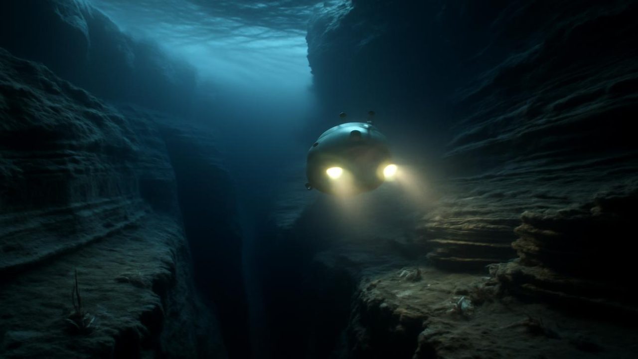
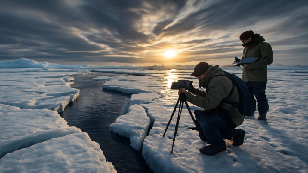
The mapping achievement required combining data from multiple sources and technologies working in concert. Autonomous underwater vehicles, satellite measurements, and ship-based sonar systems each contributed pieces to the puzzle.

Scientists describe the mapping process as slowly sketching the seafloor into existence, line by line, as new data filled in previously blank areas. The result reveals a “drowned landscape of towering underwater cliffs, valley floors riddled with boulders and sediments, and long, shadowed corridors.”
This technological breakthrough opens possibilities for similar discoveries in other remote ocean regions. The methods developed for Antarctic mapping could reveal hidden seafloor features worldwide, potentially transforming our understanding of ocean circulation patterns globally.
The discovery also highlights how much remains unknown about Earth’s oceans, even in an age of satellite technology and global positioning systems. Vast areas of seafloor remain unmapped at high resolution, particularly in remote polar regions.

Future Research and Ocean Exploration
The canyon discovery represents just the beginning of a new phase in Antarctic ocean research. Scientists can now focus on understanding how these canyon systems function in detail, including seasonal variations in water flow and sediment transport.
Future research will likely examine how climate change might affect these underwater highways. As Antarctic ice sheets respond to warming temperatures, the flow patterns through these canyons could shift, potentially altering global ocean circulation.
The detailed maps also provide new targets for deep-sea exploration missions. Scientists can now plan expeditions to specific canyon systems, potentially discovering unique ecosystems adapted to these deep, cold-water environments.

Advanced mapping technology continues to improve, promising even more detailed views of the Antarctic seafloor. Each new survey adds layers of information about this hidden landscape that influences global climate patterns from the bottom of the world.
Frequently Asked Questions
How were these submarine canyons discovered?
Scientists used high-resolution multibeam sonar, ice-penetrating radar, and data from multiple ships, satellites, and autonomous vehicles to create detailed maps of the Antarctic seafloor.
How big are these Antarctic submarine canyons?
Some of the canyons stretch longer than the Grand Canyon, extending for hundreds of kilometers across the seafloor.

Why do these canyons matter for global climate?
The canyons channel dense, cold Antarctic water into the deep ocean, forming part of the global circulation system that moves heat, carbon, and nutrients around the world’s oceans.
How many canyons were discovered?
Scientists found hundreds of submarine canyons carved into the seafloor beneath Antarctic waters, far more than previously known.
What happens to the water that flows through these canyons?
Dense, cold water funnels through the canyons like underwater avalanches, rushing downslope into the abyss and joining the global ocean circulation system.
Could climate change affect these canyon systems?
While the source material doesn’t provide specific details about climate change impacts, it suggests these systems could be vulnerable to disruption as global temperatures rise.


Leave a Comment