Winter patterns across the Northern Hemisphere are about to shift dramatically, and climate experts are warning that the end of winter 2026 may look nothing like what we’ve experienced before. After a sharp cold snap hit in late January, atmospheric models are pointing toward an unusually volatile February and March that could redefine how the season ends.
The late January cold snap arrived suddenly, transforming the landscape with ice-covered branches, frozen car doors, and crystalline breath visible in the frigid air. But this brief return to traditional winter weather may be the last predictable thing about the season’s conclusion.
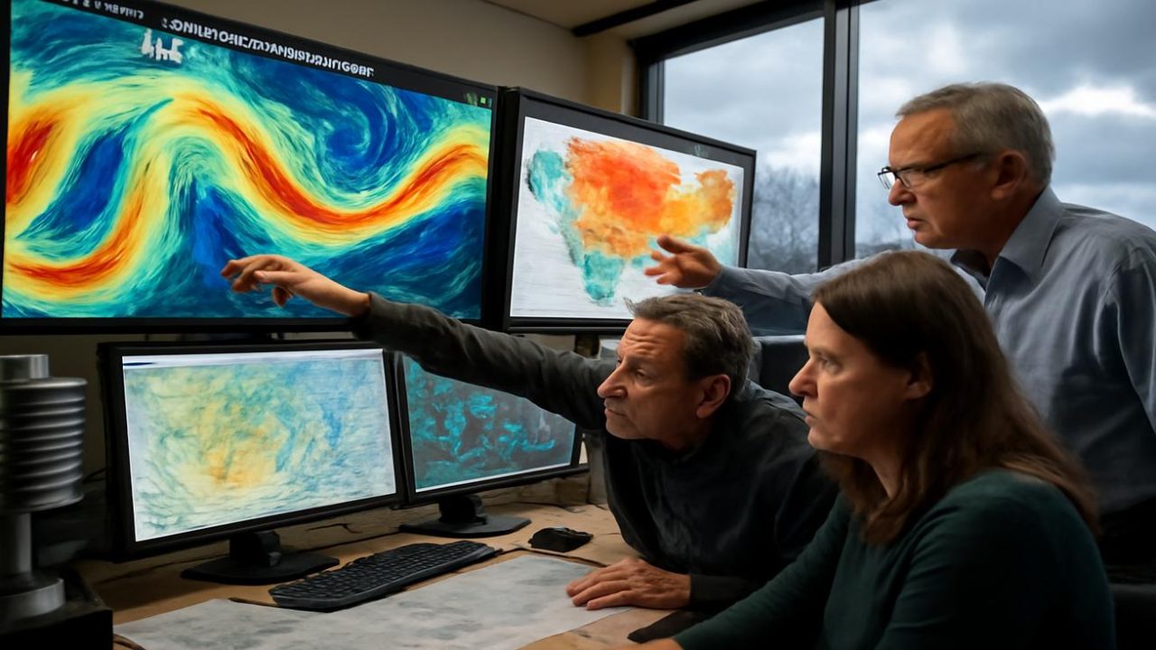
Climatologists, weather modelers, farmers, and water management officials are all delivering the same unsettling message: the weather patterns emerging for February and March 2026 represent something unprecedented in modern weather tracking.

Why This Winter Refuses to Follow the Script
Traditional winters once followed a reliable pattern. Early false starts gave way to the solid, dependable cold of January and February, followed by March’s gradual thaw with snowmelt trickling into gutters and the first insects emerging from winter hiding.
That predictable script has been shredded over the past decade. Winters have become fragmented, stitched together from weather extremes rather than unfolding as a cohesive season.
The late January 2026 cold snap exemplifies this new reality. Meteorologists describe it as a “short, intense intrusion” of Arctic air that initially appears to prove winter still has strength. However, the same atmospheric patterns that allowed such bitter cold to spill southward are now setting the stage for an unusually chaotic end to winter.

Instead of a gradual thaw, weather models suggest a different trajectory: a restless alternation between warm and cold, wet and frozen conditions as stalled jet streams and unstable polar air masses reconfigure themselves across the Northern Hemisphere.
The Jet Stream’s Dangerous New Behavior
The key to understanding what’s coming lies five to seven miles overhead, where the jet stream—a river of fast-moving air—normally draws clear boundaries between warm and cold, wet and dry regions.
In a more stable climate, this jet stream flowed like a tight rope around the planet, keeping Arctic air locked in the north while milder, moist air remained further south. Recently, it has begun meandering more dramatically, bending and dipping into exaggerated loops.

These loops allowed Arctic air to plunge briefly into mid-latitudes during January’s cold snap. But they also permit warm air to surge northward, creating mid-winter thaws that feel like borrowed spring weather.
The primary concern among experts is that the jet stream’s waviness will deepen rather than relax during February and March 2026. This doesn’t simply mean alternating warm and cold days—it means lingering weather patterns that can park storms over the same regions for extended periods or lock in dry spells where precipitation is desperately needed.
Researchers are watching for sequences like heavy, soaking rain falling on frozen or saturated ground, followed by rapid hard freezes. Or stretches of balmy temperatures that trick trees into budding in mid-February, only to face devastating late ice storms.

Real-World Consequences of Weather Pattern Shifts
These aren’t abstract meteorological concepts—they translate into very human problems. The impacts will be felt in flooded basements, ice-crusted power lines, stressed wheat seedlings, and migrating birds finding themselves out of step with the world they evolved to navigate.
The damage comes not just from individual weather events, but from how they stack together: thaw, freeze, flood, drought, wind, repeat. This creates a cascade of problems that infrastructure, agriculture, and ecosystems struggle to handle.
| Weather Pattern | Immediate Impact | Longer-term Consequence |
|---|---|---|
| Rapid thaw followed by hard freeze | Ice dams, burst pipes | Infrastructure damage, insurance claims |
| Warm spell triggering early budding | Premature plant growth | Crop losses, ecosystem disruption |
| Heavy rain on frozen ground | Flash flooding | Soil erosion, water system overload |
| Stuck weather patterns | Regional extremes persist | Economic losses, supply chain issues |
Agricultural systems face particular vulnerability. Crops and livestock adapted to gradual seasonal transitions struggle when weather whipsaws between extremes. Early warm spells can trigger growth that subsequent cold snaps destroy, while flooding followed by freezing can devastate fields prepared for spring planting.

What Makes February and March 2026 Different
While unusual winter weather has become more common over the past decade, the specific atmospheric setup heading into late winter 2026 has characteristics that concern forecasters.
The same mechanisms that delivered January’s intense cold snap are now positioned to create what experts describe as “stuck weather”—persistent patterns that resist the normal seasonal progression toward spring.
This means regions could experience weeks of the same conditions rather than the typical day-to-day variation. Some areas might face prolonged warm, wet periods while others remain locked in cold, dry patterns.

The concern extends beyond immediate weather impacts to the broader question of seasonal predictability. If traditional winter-to-spring transitions become unreliable, it affects everything from agricultural planning to infrastructure maintenance schedules.
Preparing for an Unpredictable Season’s End
The volatility expected in February and March 2026 requires different preparation strategies than traditional winter planning. Rather than preparing for a gradual transition to spring, individuals and communities need to prepare for rapid switches between winter and spring-like conditions.
Water management systems face particular challenges. Traditional spring flood preparations assume gradual snowmelt, but rapid temperature swings can create sudden runoff events that overwhelm drainage systems.

Power grids also face stress from the freeze-thaw cycles that can damage lines and equipment while simultaneously creating unpredictable demand patterns as heating and cooling needs shift rapidly.
For farmers and gardeners, the message is clear: traditional planting schedules and crop protection strategies may not work in this new reality. The old reliable signs of spring’s arrival—soil temperature, daylight hours, average last frost dates—become less meaningful when weather patterns refuse to follow historical norms.
Frequently Asked Questions
What caused the late January 2026 cold snap?
Meteorologists describe it as a “short, intense intrusion” of Arctic air that moved southward due to changes in atmospheric patterns.

Why are February and March 2026 expected to be so unusual?
The same atmospheric patterns that created January’s cold snap are positioning the jet stream to create volatile, stuck weather patterns rather than a gradual transition to spring.
How is this different from normal winter weather variation?
Instead of typical day-to-day changes, models suggest lingering patterns that can keep the same conditions in place for weeks, alternating between extreme warm and cold periods.
What areas will be most affected by these weather pattern changes?
The source material indicates this is a Northern Hemisphere-wide phenomenon, but specific regional impacts are not detailed in the available information.
Is this related to broader climate change patterns?
The source notes that winters have become “jumpy, fragmented things” over the past decade, suggesting this is part of longer-term changes in seasonal weather patterns.
When will weather patterns return to normal?
The source material focuses on February and March 2026 projections and does not provide information about when more stable patterns might return.


Leave a Comment