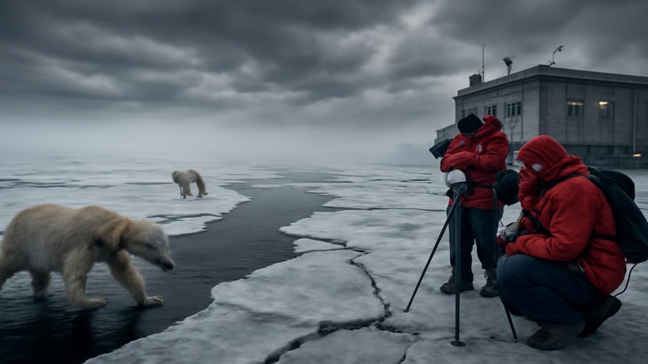
Thirty kilometers above the Arctic ice, a massive spinning wall of frigid air that normally keeps brutal cold locked away over the North Pole is showing signs of weakening. Meteorologists are now warning that this atmospheric barrier—known as the polar vortex—could experience a complete breakdown in early February, potentially unleashing Arctic temperatures across much of North America and Europe.
The warning comes as winter weather patterns across the Northern Hemisphere have already seemed unusually mild and hesitant. While calendar dates suggest deep winter conditions, many regions are experiencing temperatures that feel more like early autumn, with patches of green still visible where snow typically accumulates by this time of year.
But high in the stratosphere, atmospheric conditions are setting the stage for what could be a dramatic reversal of these mild patterns.

How the Arctic’s Atmospheric Machinery Actually Works
To understand what meteorologists are tracking, it helps to picture the atmosphere as having multiple layers of spinning air currents that work together to control global weather patterns.
The polar vortex operates like a colossal spinning top in the stratosphere, roughly 30 kilometers above the Arctic. This massive circulation of cold wind normally spins tight and fast, effectively creating a cage of circling air that traps the harshest Arctic cold over the North Pole.
Below this stratospheric system, the jet stream—a ribbon of fast-moving air that directly shapes the weather we experience—snakes around the hemisphere. These two atmospheric systems maintain a constant, invisible conversation that determines whether Arctic air stays locked away or begins migrating toward populated areas.

Most winters, this system holds steady. The polar vortex maintains its grip on Arctic air masses while the jet stream follows relatively predictable patterns. But when this atmospheric conversation breaks down, the results can be dramatic and far-reaching.
What an Arctic Breakdown Actually Means for Weather Patterns
The term “Arctic breakdown” describes a chain reaction that begins in the upper atmosphere and eventually reaches ground level across multiple continents.
The process starts when the polar vortex in the stratosphere becomes disturbed by waves of energy rising from lower atmospheric layers. These energy waves can be triggered by several large-scale patterns:

- Sprawling high-pressure systems positioned over Europe or the North Pacific
- Turbulent mountain air currents over major ranges like the Himalayas
- Persistent storm tracks that repeatedly impact the same geographical regions
When enough energy accumulates, it can cause what meteorologists call a sudden stratospheric warming event. During these events, temperatures in the stratosphere above the Arctic can increase by tens of degrees Celsius within just a few days.
This rapid warming doesn’t directly affect ground-level temperatures. Instead, it destabilizes the polar vortex itself, causing it to split apart or shift off-center, like a spinning top struck hard from one side.
Once the vortex loses its structural integrity, the dense, brutally cold air it normally contains can begin sliding southward into mid-latitude regions. This Arctic air follows the now-distorted jet stream, creating meandering tongues of extreme cold that can reach areas experiencing mild winter conditions.

Current Atmospheric Conditions Raising Meteorologist Concerns
Weather monitoring centers across Europe and North America are currently observing several concerning patterns in their forecast models as January transitions into February.
Upper-level wind systems are showing signs of weakening, while heat from lower latitudes is pushing northward in ways that could destabilize the polar vortex. These are the same atmospheric signatures that have preceded previous Arctic breakdown events.
The timing is particularly significant because early February represents a period when the polar vortex is typically at its strongest and most stable. A breakdown during this timeframe would be especially disruptive to established weather patterns.

| Atmospheric Layer | Current Condition | Normal February Pattern |
|---|---|---|
| Stratospheric Polar Vortex | Showing signs of weakening | Peak strength and stability |
| Upper-level winds | Decreasing in intensity | Strong and consistent |
| Heat transport northward | Increasing activity | Minimal disruption |
Meteorologists are particularly focused on energy wave patterns that could trigger the sudden stratospheric warming events necessary for a complete vortex breakdown.
Real-World Impact of Arctic Air Mass Displacement
When Arctic breakdown events occur, the consequences extend far beyond simple temperature drops. The displaced cold air masses can fundamentally alter weather patterns across vast geographical areas for weeks or even months.
Cities and regions that have been experiencing unusually mild winter conditions could face rapid transitions to extreme cold. Areas where early spring preparations might already be underway—such as locations where crocuses are beginning to emerge—could suddenly encounter conditions more severe than typical peak winter weather.

The atmospheric reconfiguration affects more than just temperature. Precipitation patterns, storm tracks, and seasonal timing can all be disrupted when Arctic air masses move into regions where they don’t typically appear.
Agricultural areas could face particular challenges if the breakdown occurs during critical planning periods for spring planting. Infrastructure systems designed around typical regional winter patterns may encounter stress from conditions they weren’t designed to handle.
Energy demand patterns could shift dramatically as heating requirements spike in areas that have been experiencing lower-than-normal winter energy consumption.
Monitoring the Atmospheric Shift
Weather prediction centers are closely tracking the development of conditions that could trigger an early February Arctic breakdown. Modern atmospheric modeling allows meteorologists to monitor the complex interactions between stratospheric and tropospheric systems with unprecedented detail.
The challenge lies in predicting exactly when and how severely these atmospheric disruptions might occur. While the warning signs are becoming increasingly apparent, the precise timing and geographical extent of any potential breakdown remain uncertain.
Current monitoring focuses on energy wave propagation from lower atmospheric levels and the response of the stratospheric polar vortex to these disturbances. Meteorologists are particularly watching for the temperature spikes in the stratosphere that would signal the beginning of a sudden warming event.

The next several weeks will be critical for determining whether the atmospheric conditions currently developing will result in the Arctic breakdown that meteorologists are warning about, or whether the polar vortex will maintain enough stability to keep Arctic air masses contained.
Frequently Asked Questions
What exactly is the polar vortex that meteorologists are monitoring?
The polar vortex is a massive circulation of cold wind that spins in the stratosphere about 30 kilometers above the Arctic, normally keeping the harshest cold air trapped over the North Pole.
How quickly can an Arctic breakdown affect ground-level weather?
Once a sudden stratospheric warming event begins, it can cause temperature increases of tens of degrees Celsius in the upper atmosphere within just a few days, though ground-level impacts may take longer to develop.
Why is early February timing particularly concerning for this event?
Early February typically represents the period when the polar vortex should be at its strongest and most stable, making any breakdown during this timeframe especially disruptive to normal weather patterns.
What triggers the energy waves that can destabilize the polar vortex?
Large-scale atmospheric patterns including sprawling high-pressure systems over Europe or the North Pacific, turbulent mountain air currents, and persistent storm tracks can all generate the energy waves that rise up and disturb the polar vortex.
How long do the effects of an Arctic breakdown typically last?
The displaced cold air masses and altered weather patterns resulting from Arctic breakdown events can persist for weeks or even months after the initial atmospheric disruption occurs.
Can meteorologists predict exactly when and where the breakdown will occur?
While warning signs are becoming apparent in current atmospheric models, the precise timing and geographical extent of any potential breakdown remain uncertain and continue to be closely monitored.


Leave a Comment