Meteorologists are tracking an alarming possibility for early February: a “high risk Arctic breakdown scenario” that could unleash brutal cold across much of the Northern Hemisphere. The warning centers on computer models showing the polar vortex—a massive whirlpool of frigid air normally locked over the Arctic—may weaken or split apart in the coming weeks.
When this atmospheric barrier fails, the consequences cascade downward through the layers of sky above us. What meteorologists call a breakdown scenario doesn’t just mean colder weather. It means the invisible fences holding Arctic air in place begin to crumble, sending that cold streaming south into regions where millions of people live.
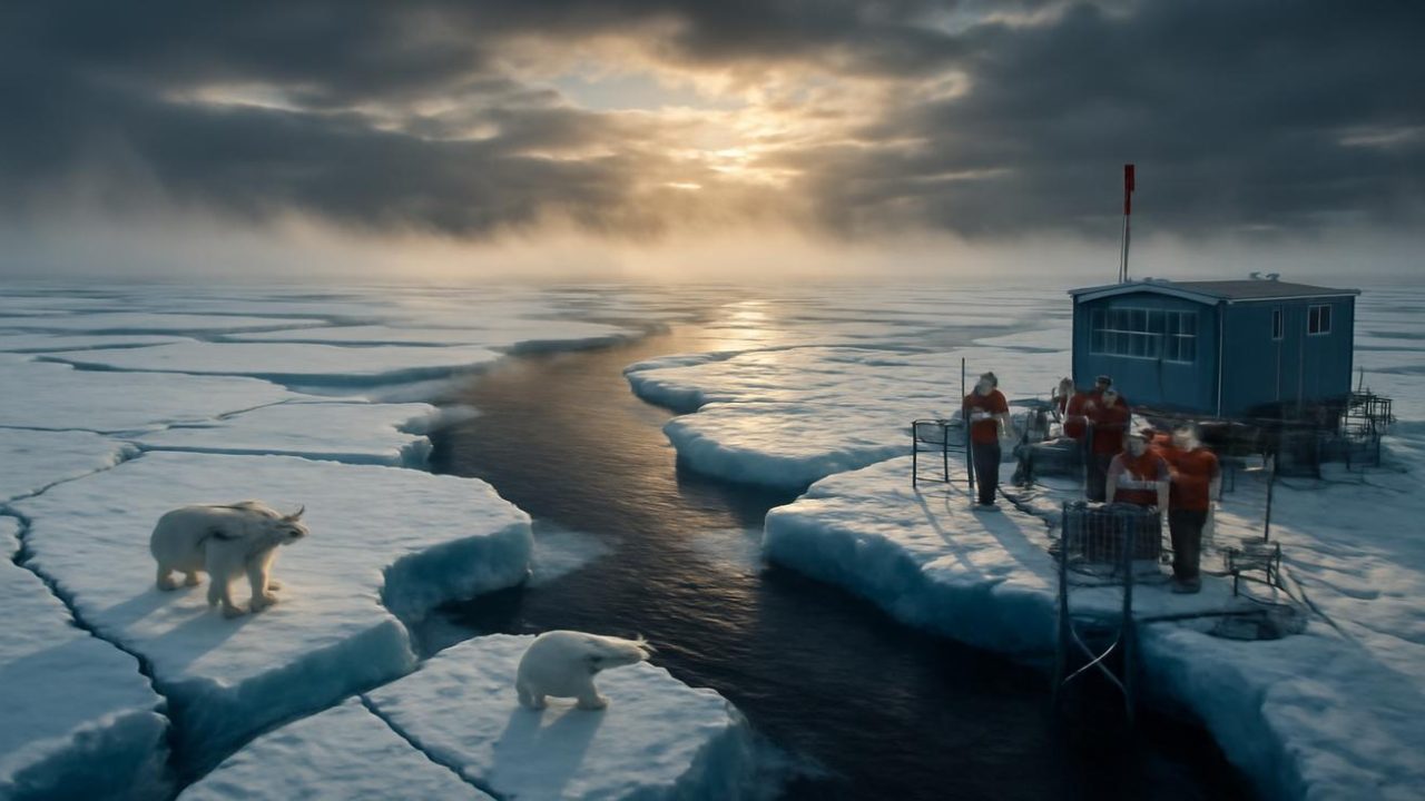
The signs are already visible to those who know how to read them. Early January brought the kind of winter that feels slightly off-script—not quite as cold as expected, with confused bird behavior and that peculiar quality of light that suggests the atmosphere itself is unsettled.

How the Arctic’s Atmospheric Architecture Works
To understand what an Arctic breakdown means, picture the atmosphere as a giant balancing act that never stops moving. The sun heats the equator far more than the poles, creating a fundamental imbalance that drives all weather on Earth.
High above where jetliners fly, a cap of brutally cold air spins counterclockwise over the North Pole. This is the polar vortex, and around it flows the polar jet stream like a river of wind. Together, they act like a loosely cinched belt, holding the Arctic’s most severe cold in place.
For most winters, this arrangement works like clockwork. The Arctic keeps its cold, the mid-latitudes get rolling waves of chill and thaw, and life goes on with familiar seasonal rhythms. But when that vortex weakens, stretches, or splits—the scenario meteorologists are now watching—everything changes.

The technical term “high risk Arctic breakdown scenario” doesn’t sound dramatic, but veterans of weather forecasting know what it can mean. As one meteorologist noted in internal briefings, “This is one of those setups that makes the hair on the back of your neck stand up.”
The Warning Signs Meteorologists Are Tracking
Computer models have been highlighting several converging signals that point toward potential trouble in early February:
- Stratospheric Warming: Models show a surge of warmth 20-30 kilometers above the pole, like shoving a fist into the middle of a spinning top
- Pressure Pattern Changes: The atmospheric pressure systems that normally keep cold air bottled up are showing signs of weakening
- Jet Stream Disruption: The river of air that forms the boundary between cold and warm air masses is becoming increasingly unstable
- Temperature Anomalies: Unusual temperature readings in the stratosphere suggest the polar vortex’s structure is under stress
These aren’t isolated weather events. They represent a potential unraveling of the Arctic’s carefully stacked air-mass architecture. When warm air from lower latitudes punches upward into the stratosphere, it can distort or break apart the polar vortex entirely.

The result isn’t that cold air “escapes” the Arctic—it’s that the mechanisms holding it in place simply stop working.
What a Breakdown Scenario Could Mean
When meteorologists model an Arctic breakdown, they’re looking at more than just temperature drops. They’re tracking a cascade of atmospheric changes that can reshape weather patterns across entire continents.
| Atmospheric Layer | Normal Winter Behavior | During Breakdown Scenario |
|---|---|---|
| Stratosphere (20-30km up) | Cold, stable polar vortex | Warming disrupts vortex structure |
| Upper Troposphere | Stable jet stream boundary | Jet stream becomes wavy, erratic |
| Surface Weather | Predictable cold/warm cycles | Extreme cold outbreaks possible |
The breakdown doesn’t happen overnight. It’s more like watching a dam develop cracks—first small fissures, then larger structural problems, until the whole system gives way. The cold air that’s been spinning peacefully over the Arctic suddenly has nowhere to go but south.

This process can send temperatures plummeting across regions that haven’t experienced such extreme cold in years or even decades. Cities from Chicago to Berlin could see readings that test infrastructure, strain power grids, and force millions of people to confront winter weather they’re simply not prepared for.
Why This February Could Be Different
Arctic breakdowns aren’t unprecedented, but the specific conditions meteorologists are tracking for early February represent a particularly high-risk scenario. The combination of stratospheric warming, weakening pressure patterns, and jet stream instability creates what forecasters call a “perfect storm” of atmospheric disruption.
Previous breakdown events have brought some of the most memorable winter weather in recent history. The difference this time is the intensity of the warning signals and how early they’re appearing in computer models.

When meteorologists run their atmospheric simulations forward to early February, they see animations that make them look twice. The models show the polar vortex not just weakening, but potentially splitting into multiple pieces—a scenario that can scatter Arctic cold across multiple continents simultaneously.
The timing matters too. Early February breakdown events tend to have longer-lasting effects than those occurring later in winter, potentially extending severe cold well into what should be the beginning of spring’s return.
Preparing for Atmospheric Uncertainty
While meteorologists can identify the risk of an Arctic breakdown scenario, they can’t predict with certainty exactly when, where, or how severely it might unfold. The atmosphere is too complex, with too many variables, for that level of precision weeks in advance.

What they can say is that the warning signs are unusually strong and consistent across multiple forecasting models. The stratospheric warming events that trigger these breakdowns are already showing up in the data, suggesting the process may already be underway.
For most people, this means paying closer attention to weather forecasts as February approaches and being prepared for the possibility of sudden, severe cold snaps that could last days or weeks longer than typical winter weather.
The breakdown scenario also highlights how much our daily weather depends on atmospheric patterns playing out thousands of miles away and kilometers above our heads. The polar vortex spinning over the Arctic isn’t just an abstract meteorological concept—it’s the invisible guardian that keeps winter within manageable bounds for most of the planet.

When that guardian fails, we remember just how thin the atmospheric barriers are between our temperate world and the Arctic’s frozen fury.
Frequently Asked Questions
What exactly is a “high risk Arctic breakdown scenario”?
It’s when the polar vortex—a spinning mass of cold air over the Arctic—weakens or splits apart, potentially sending extreme cold south into populated areas.
When might this breakdown occur?
Meteorologists are tracking warning signs that point to early February as a high-risk period, though exact timing cannot be predicted weeks in advance.

What causes the polar vortex to break down?
Warm air from lower latitudes can surge upward into the stratosphere, disrupting the vortex’s structure like disturbing a spinning top.
How cold could temperatures get during a breakdown?
The source material doesn’t specify exact temperature ranges, but breakdown events can bring readings that test infrastructure and strain power grids across large regions.
How long do the effects of an Arctic breakdown typically last?
Early February breakdowns tend to have longer-lasting effects than those later in winter, potentially extending severe cold well into early spring.
Can meteorologists predict exactly where the cold will hit?
While they can identify the overall risk, the atmosphere is too complex to predict with certainty exactly when, where, or how severely a breakdown might unfold weeks in advance.


Leave a Comment